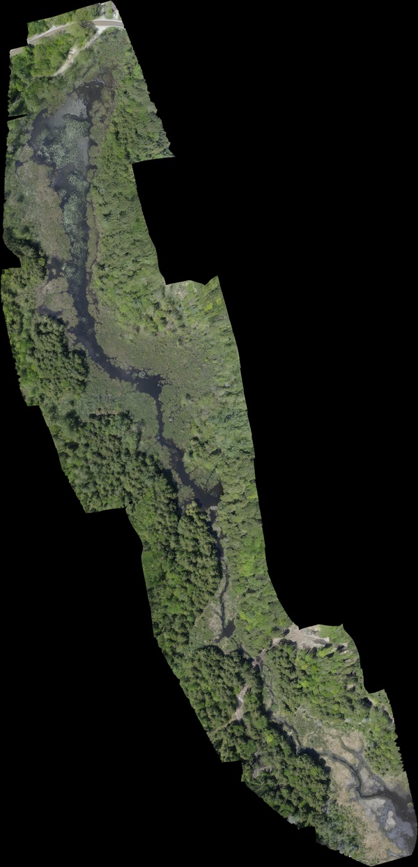
An example orthomosaic we shot and processed for the town of Fletcher, VT, who wanted detailed imagery of a kilometer of waterway. This image is constructed of 66 individual 20 megapixel photos which were processed steroscopically to generate a 3D model, which was then projected into a 2D overhead (ortho) image. The 3D projection stage in the process is done to eliminate the parallax issues you see at the edges of individual ortho photos where trees and other vertical structures appear to lean away from the center.
Flying at 100 meters up allowed us to capture at a resolution of better than 1.5cm per pixel, which is 30x more detail than commercial satellite images (at 50-60cm/p) and greater detail is possible. The image below is 16,000 pixels by 32,000 pixels and despite covering a kilometer of waterway, individual hand-sized lily pads composed of 40-50 pixels can be seen.
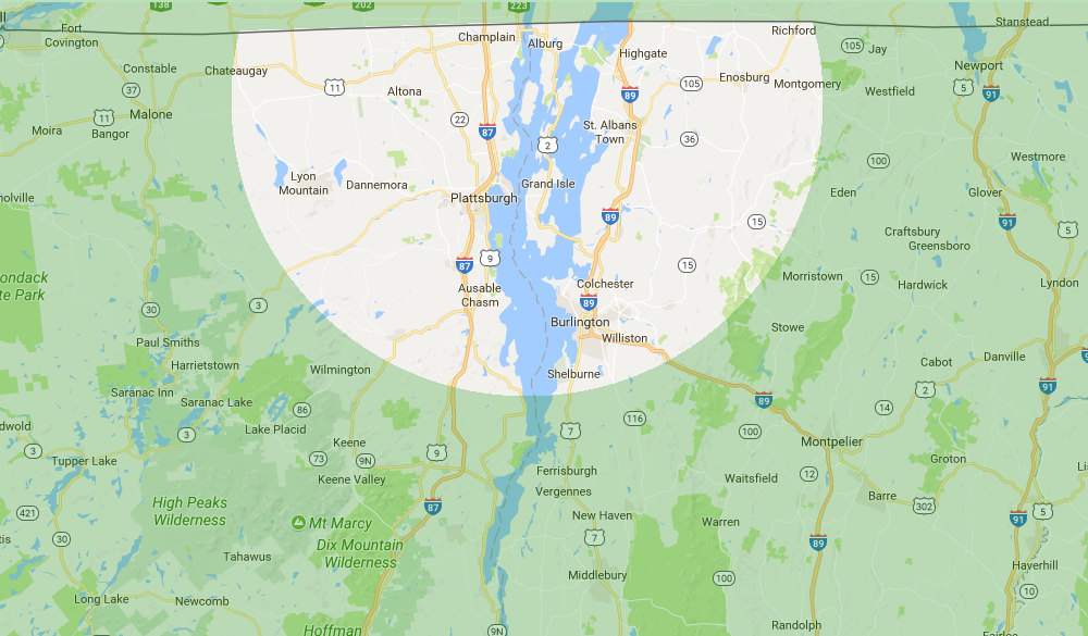
We can image areas of several square kilometers this way.


